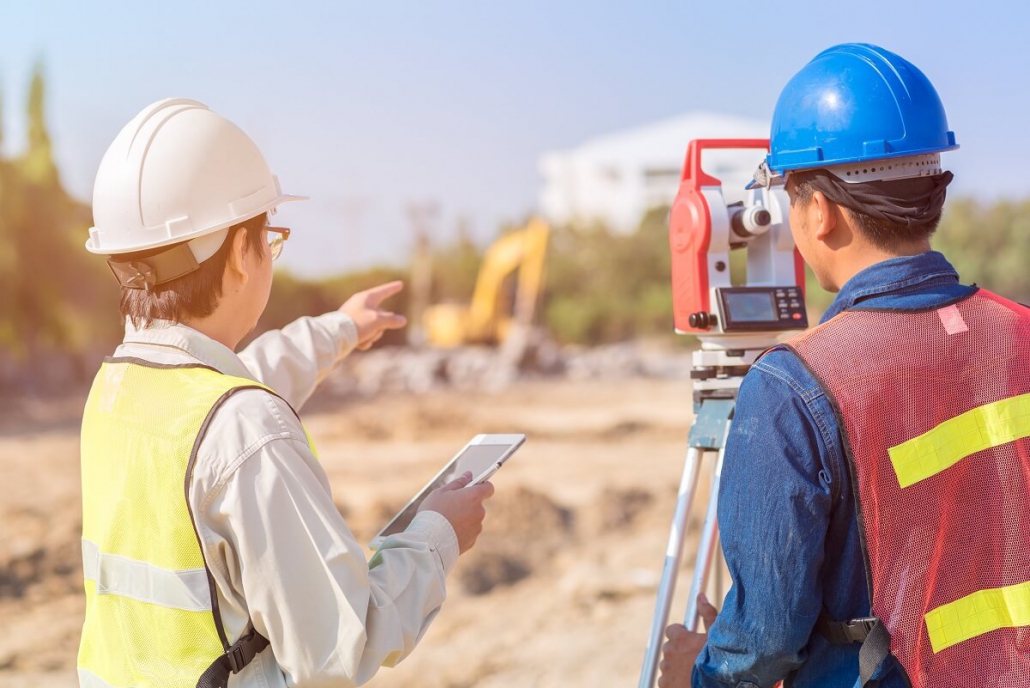
Surveyors use the latest technology to make precise measurements of land. This helps architects, engineers and planners plan roads, bridges and utilities.
They also work on land subdivisions, tunnel building and mining exploration. Their data can be used to direct these types of projects and ensure the construction process runs smoothly.

Topographic Surveys
Surveys are an important part of planning and designing any building project. This includes major infrastructure projects and everything from deciding where to put a house extension to how the local roads should be laid out.
Topographic surveys provide a map of natural and artificial features on the ground. They can also show underground utilities such as sewers and waterlines.
These are used to create E&A’s preliminary plats and civil engineering and landscape planning designs. They help to map out your site and ensure you get the best use possible out of it.
Without a topographical survey, you could miss out on opportunities for your development that could make or break it. Whether it is boundary issues that could result in the local authority refusing planning permission or structural collapse that will cause you to lose money on your development, you can avoid both by booking a survey as early as possible in the process.
3D Laser Scanning Surveys
3D Laser Scanning is a technology that enables surveyors to capture data in the form of a 3-Dimensional point cloud, enabling a detailed view of a site. The resulting point cloud can be used for a number of different applications including as-built surveys, structural analysis, construction planning and architectural design.
3D scanning is also a great way of recording the condition of buildings and infrastructure before a project starts. This can save time and money in the long run by avoiding the need to return to site to make updates or take measurements.
Another key advantage of 3D laser scanning is its ability to accurately document the location of buried pipes and foundations. This information can
then be used in the design of new piping routes or for inspection and maintenance purposes.
However, it is important to be aware of a potential issue that can arise when combining multiple scans; propagation errors, which are caused by the movement of objects in the environment and can cause distortions to the resulting point cloud. These can be minimised with judicious planning but they cannot be removed entirely.
Subdivision Surveys
Surveying data plays an important role in the development of modern cities, from major infrastructure projects to simple house extensions. This is because the precise measurements that come from surveying help architects and engineers know where to place buildings and structures.
Subdivision surveys (commonly referred to as subdivision platting) are used for dividing a tract of land into smaller parcels. These are shown on a map and comply with local subdivision ordinance standards and the Subdivision Map Act.
The subdivision ordinance sets standards for residential and commercial lots, roads (rights-of-way), parkland dedication, drainage and utility easements. These standards are created to protect public health and safety.
Subdivisions are generally made for various reasons, such as selling individual lots of a property, estate settlement or for development. They are carried out by surveyors who are registered professionals with the government.
Engineering Surveys
Surveying plays a crucial role in any construction project, whether it’s a large infrastructure project or a simple home improvement. Engineers need accurate surveying data to ensure their projects are built as planned.
To achieve this they use a variety of techniques including the latest in global positioning satellite technology. This allows engineers to make a more informed decision about the location of corners and foundations, for example.
Surveyors in Canberra can also use topographic mapping, 3D laser scanning and hydrographic surveys to produce detailed engineering plans for construction projects. This can include things like calculating the best route for roads and buildings, making sure they are constructed in the correct relative and absolute positions and marking control points for future surveying.


